

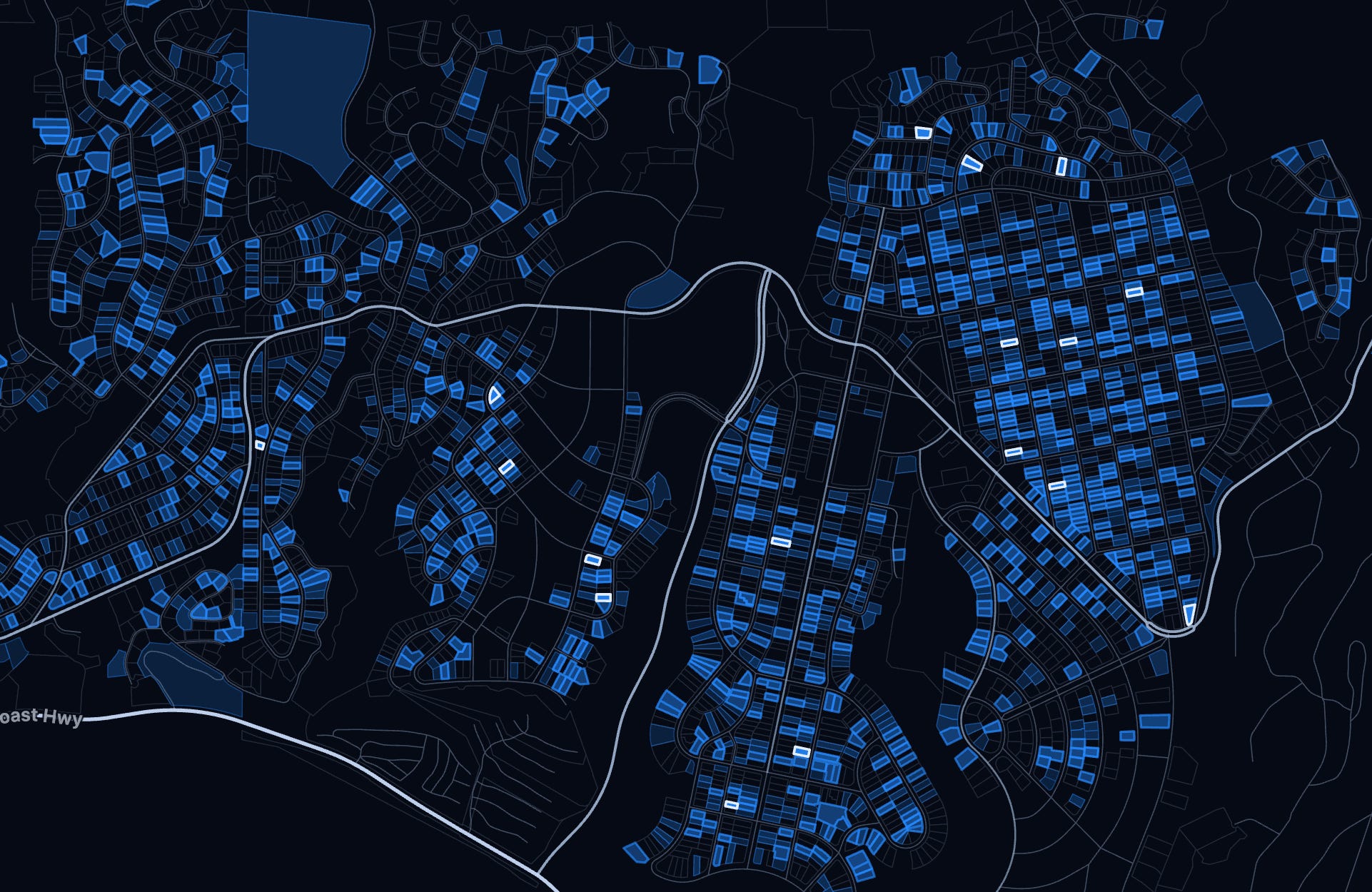
Today I’m releasing an interactive Palisades rebuild tracker. I’ve wanted to make this for some time but the data is only now starting to be mature enough for it to be useful.
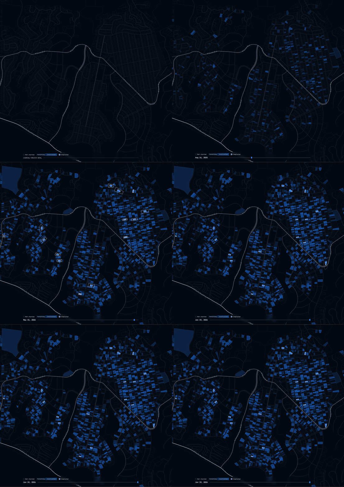
Visualizing the progress like this in an interactive, animated, fashion shows progress through movement instead of at a moment in time, giving meaning to the numbers.
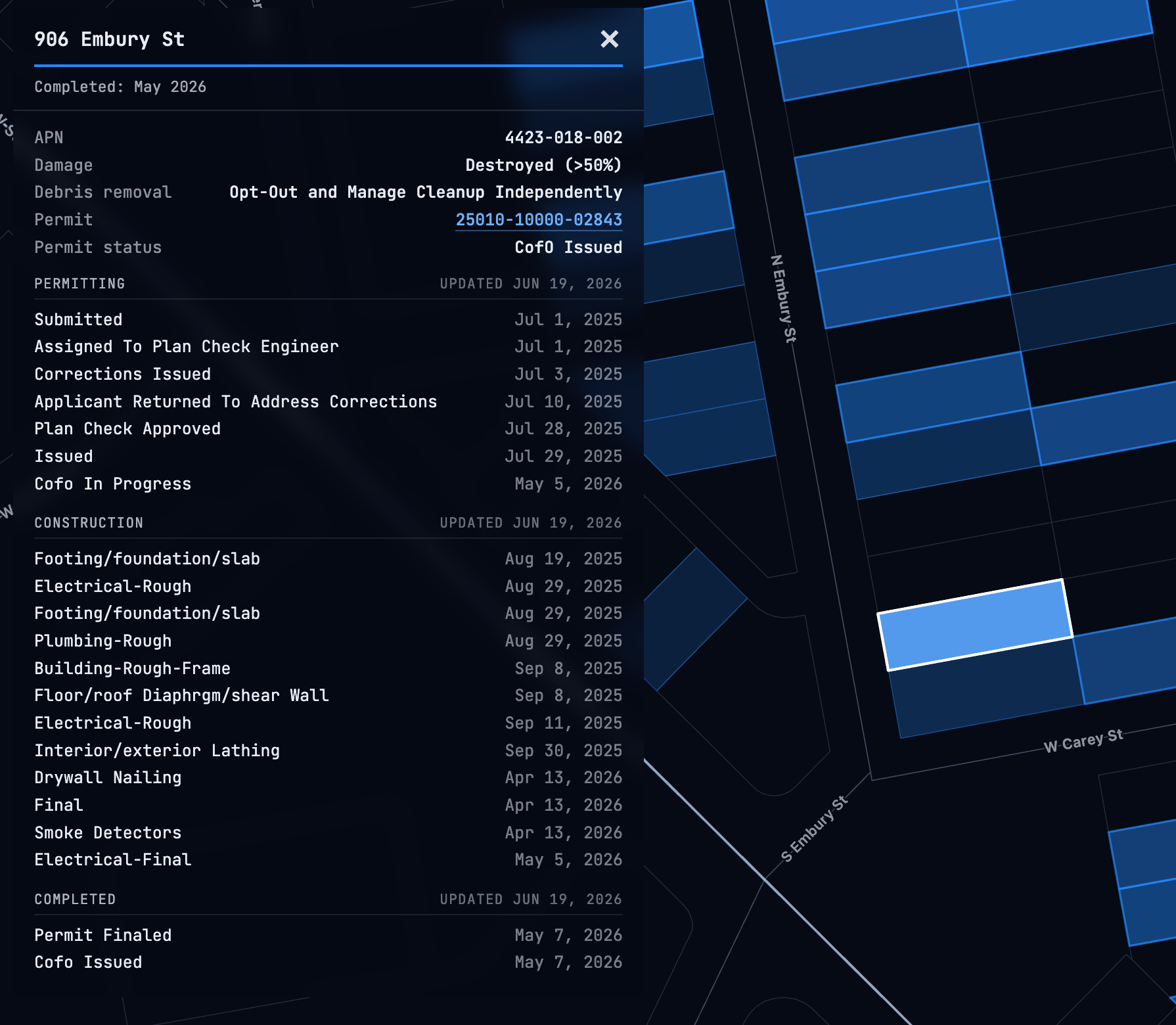
I also wanted the tool to be genuinely useful: a tool to rapidly pull up the publicly available information on any parcel to avoid the painfully outdated LADBS search system.
Hit S on your keyboard, type the address and full permit and construction progress is presented.
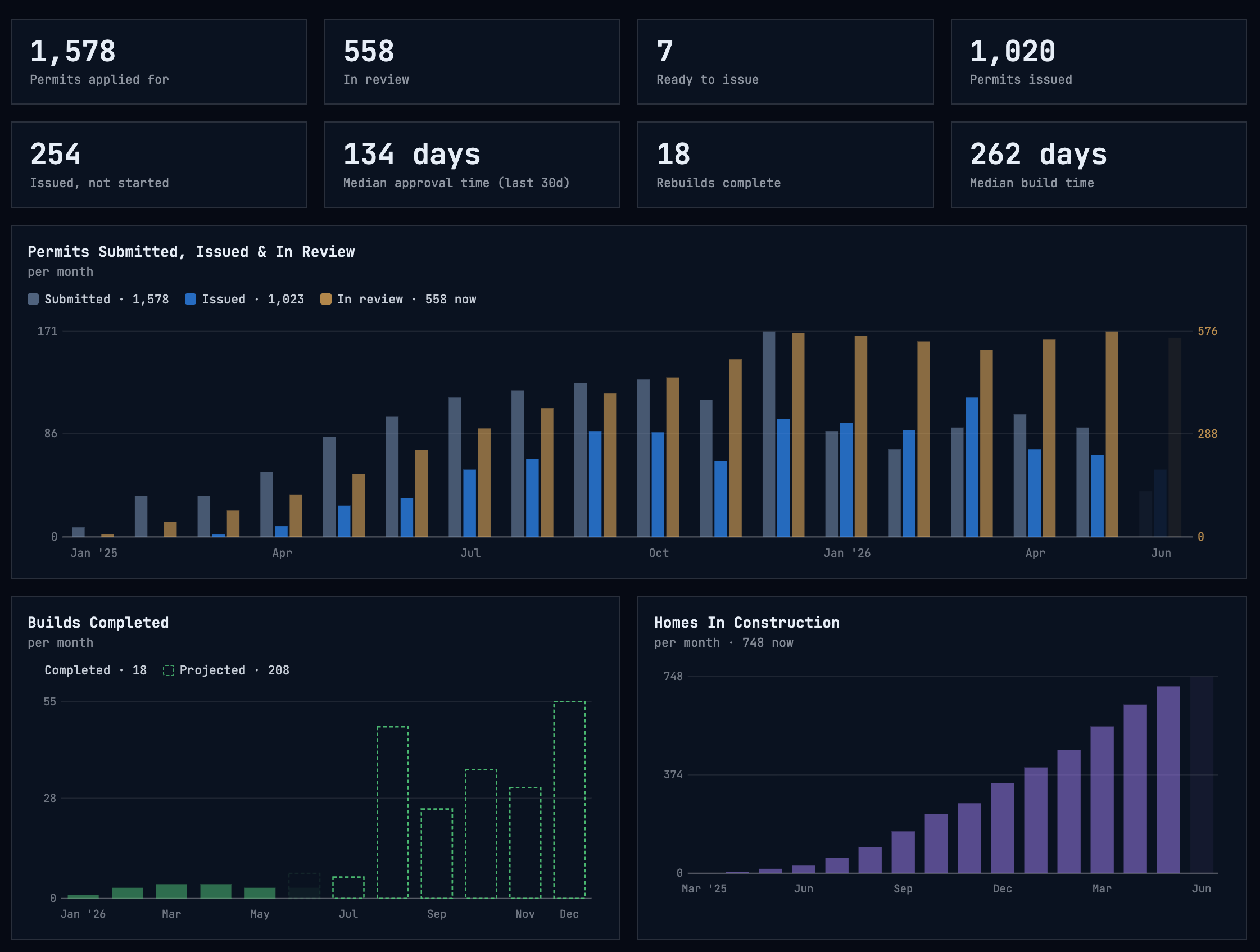
To date, I have found Pali Builds the best source of aggregate permit progress. However with the rebuild advancing I wanted my own data to do more detailed analysis. Today the tool only has basic analysis, but as the data matures I hope to make more accurate projections. Each lot under active construction displays an estimated completion date. Click on the Stats button for a technical readout on the rebuild as well as build completion projections
And if you wish to follow along, sign up for the weekly updates for a simple numerical email digest of the rebuild progress.
No gimmicks, no signup required, nothing to sell, just a tool I hope residents, builders, realtors, friends, and family find useful, and hopefully inspiring.
Interactive Palisades Rebuild Map
For the tech heads out there, this is Python/FastAPI running on Google Cloud Platform, Cloud Run, Firestore DB, Resend for email. Map is a custom GeoJSON based client side canvas render. Data comes from public county and city datasets.
UPDATE 6/26: I teamed up with The Palisadian-Post to bring this map to as many Palisadians as possible. map.palipost.com. Make sure you are subscribed to the Post!
Incredible work! Thank you for sharing this vital community resource